|
||||||||||||||||
|
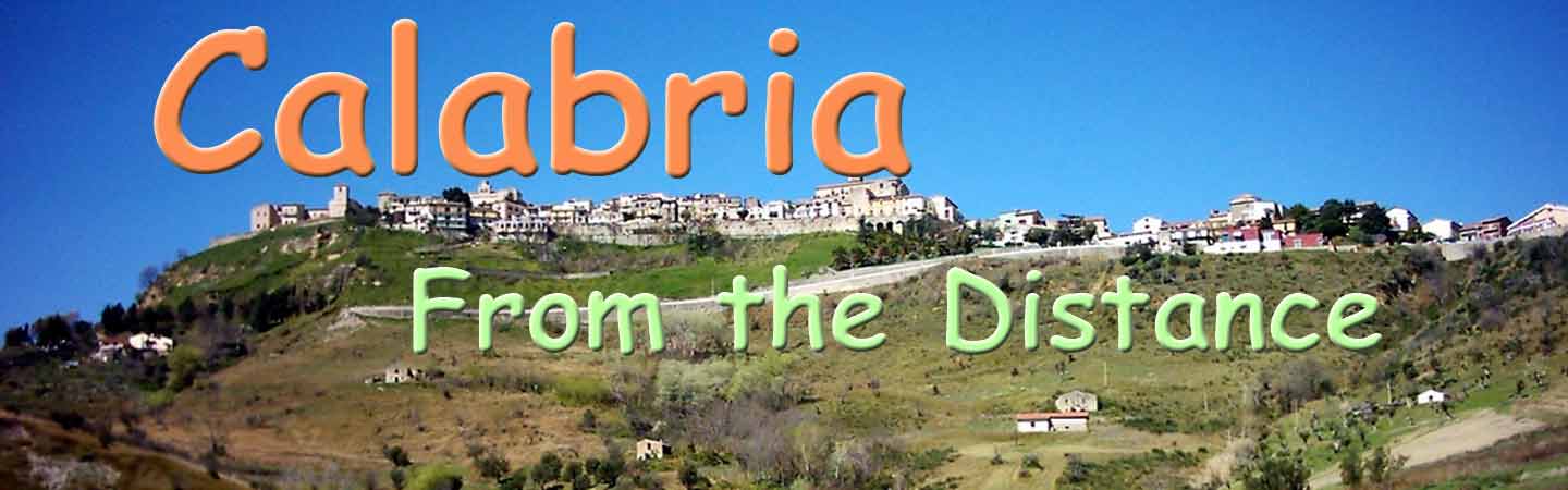
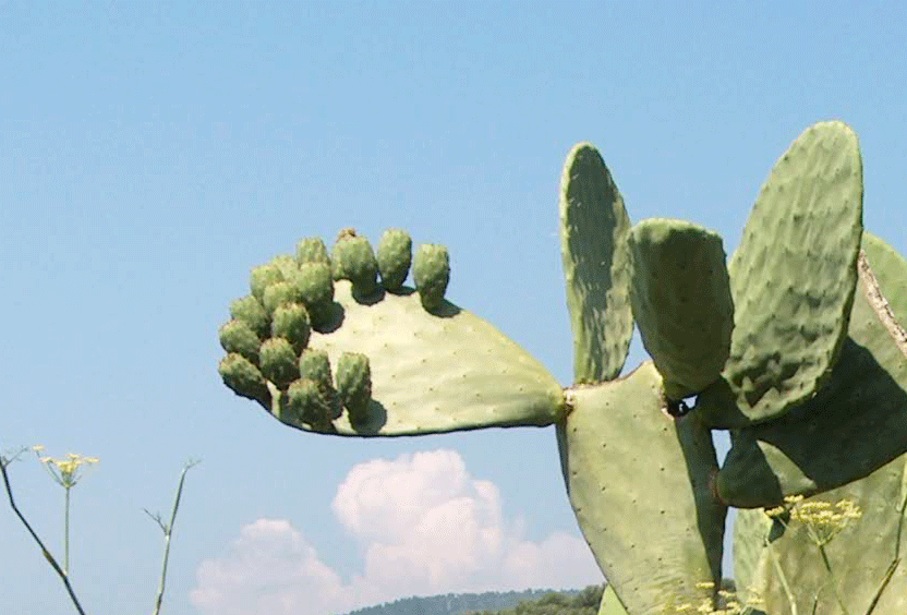
CALABRIA: GEOGRAPHY Calabria is bounded to the north by the region of Basilicata, to the south-west by the region of Sicily, to the west by the Tyrrhenian Sea, and to the east by the Ionian Sea. The region covers 15,080 km2 (5,822 sq mi) and has a population of just over 2 million. The demonym of Calabria in English is Calabrian (Italian: calabrese). In ancient times the name Calabria was used to refer to the southern peninsula of Apulia also known as the heel of Italy. Calabria is connected by the Monte Pollino massif, while on the east, south and west it is surrounded by the Ionian and Tyrrhenian seas. The region is a long and narrow peninsula which stretches from north to south for 248 km (154 mi), with a maximum width of 110 km (68 mi). Some 42% of Calabria's area, corresponding to 15,080 km2, is mountainous, 49% is hilly, while plains occupy only 9% of the region's territory. It is separated from Sicily by the Strait of Messina, where the narrowest point between Capo Peloro in Sicily and Punta Pezzo in Calabria is only 3.2 km (2 mi). It is mainly a mountainous region. Three mountain ranges are present: Pollino, La Sila and Aspromonte. All three mountain ranges are unique with their own flora and fauna. The Pollino Mountains in the north of the region are rugged and form a natural barrier separating Calabria from the rest of Italy. Parts of the area are heavily wooded, while others are vast, wind-swept plateaus with little vegetation. These mountains are home to a rare Bosnian Pine variety, and are included in the Pollino National Park. La Sila is a vast mountainous plateau, about 1,200 metres above sea level, which stretches for nearly 2,000 square kilometres along the central part of Calabria. The highest point is Botte Donato, which reaches 1,928 metres. The area boasts numerous lakes and dense coniferous forests. The Aspromonte massif forms the southernmost tip of the Italian peninsula bordered by the sea on three sides. This unique mountainous structure reaches its highest point at Montalto, at 1,995 metres, and is full of wide, man-made terraces that slope down towards the sea. In general, most of the lower terrain in Calabria has been agricultural for centuries, and exhibits indigenous scrubland as well as introduced plants such as the prickly pear cactus. The lowest slopes are rich in vineyards and citrus fruit orchards. The Diamante citron is one of the citrus fruits. Moving upwards, olives and chestnut trees appear while in the higher regions there are often dense forests of oak, pine, beech and fir trees. The climate is influenced by the mountainous and hilly relief of the region: cold in the area of Monte Pollino, temperate with a very limited temperature range in the area of Aspromonte, while the Sila and Serre massifs ensure greater humidity on the Tyrrhenian coast and a drier climate on the Ionian coast. Contact us mailto:mcaputo4163 Banner photo by, Maurizio Giraldi |
|
||||||||||||||